 1986 TM image of the VCR/LTER w/ outlines.
342 K
1986 TM image of the VCR/LTER w/ outlines.
342 K
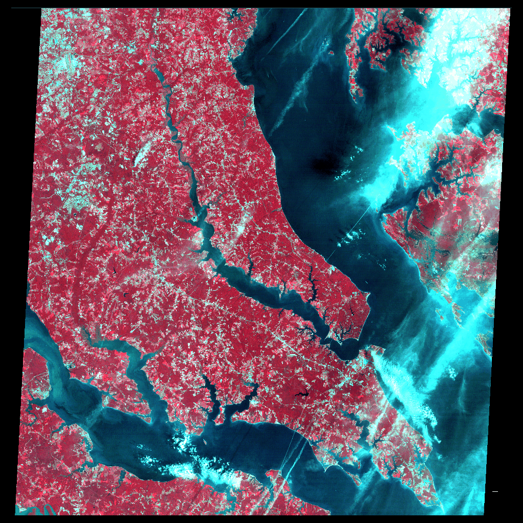
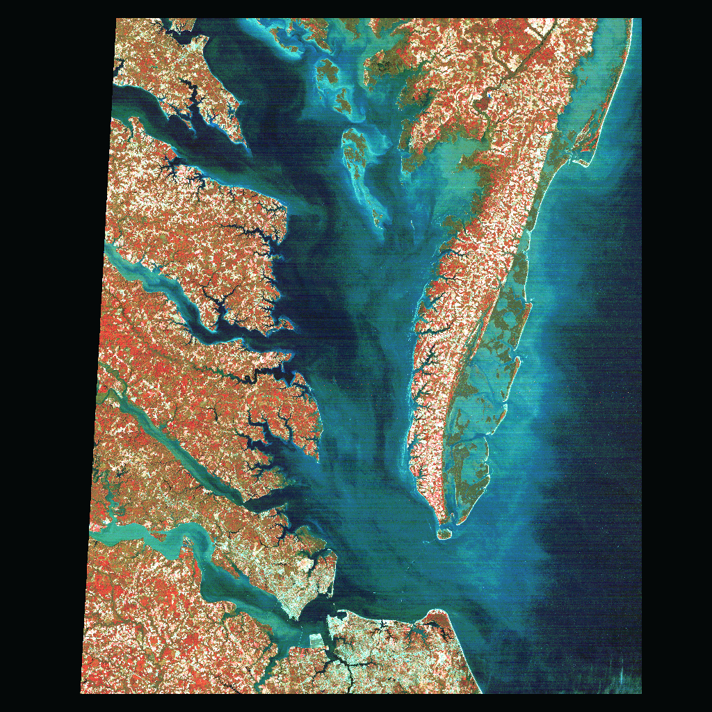 Entire Jan. 1992 TM scene including s. Delmarva Penn. & s. Chesapeake Bay.
738 K
Entire Jan. 1992 TM scene including s. Delmarva Penn. & s. Chesapeake Bay.
738 K
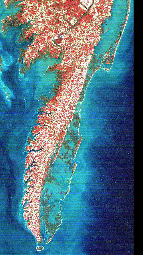 Subset of Jan. 1992 TM scene showing s. Delmarva Penninsula.
395 K
Subset of Jan. 1992 TM scene showing s. Delmarva Penninsula.
395 K
 1991 Infrared Aerial Photo of N. Hog Is. (1:20000).
413 K
1991 Infrared Aerial Photo of N. Hog Is. (1:20000).
413 K
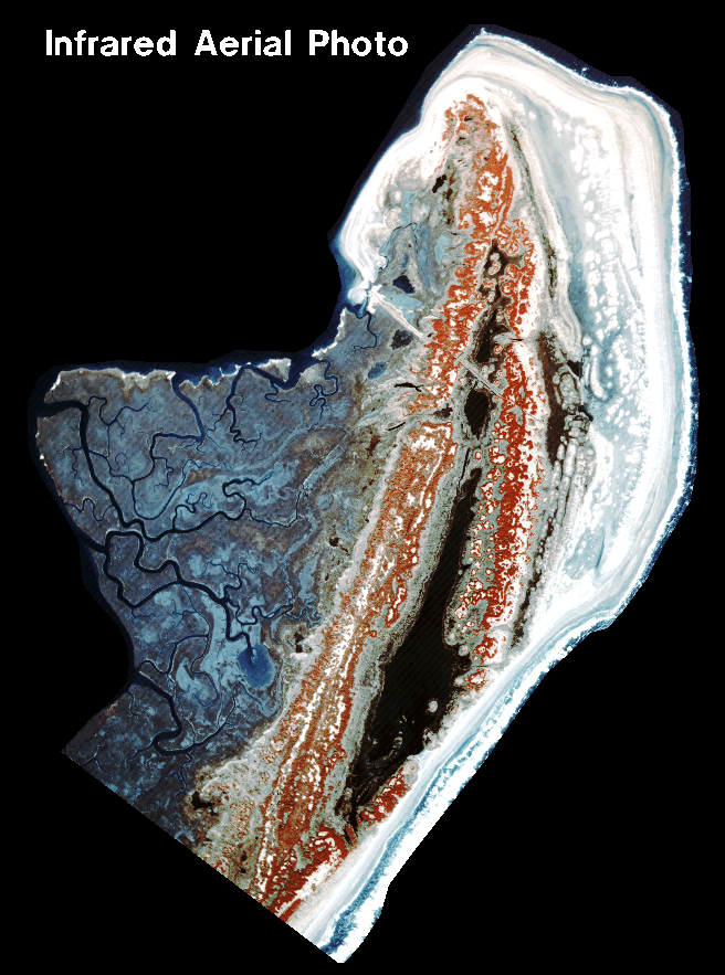 1989 Infrared Aerial Photo of N. Hog Is. (1:20000).
285 K
1989 Infrared Aerial Photo of N. Hog Is. (1:20000).
285 K
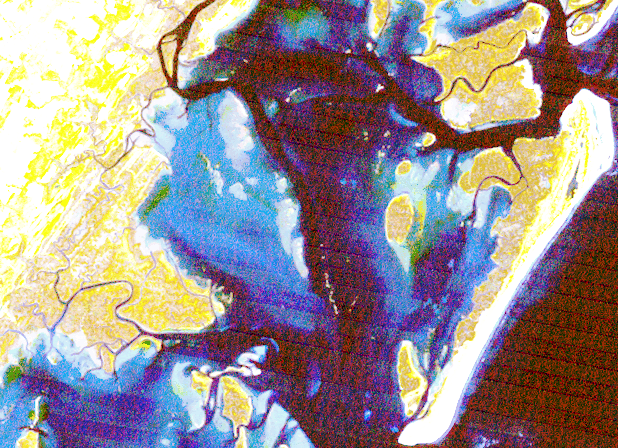
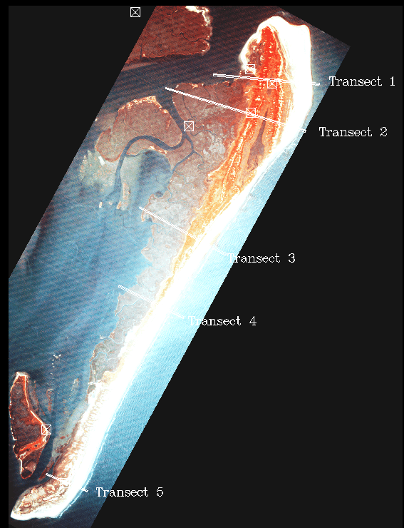 Infrared Aerial Photo of Hog Is. w/ locations of transects plotted across (1:68000).
152 K
Infrared Aerial Photo of Hog Is. w/ locations of transects plotted across (1:68000).
152 K
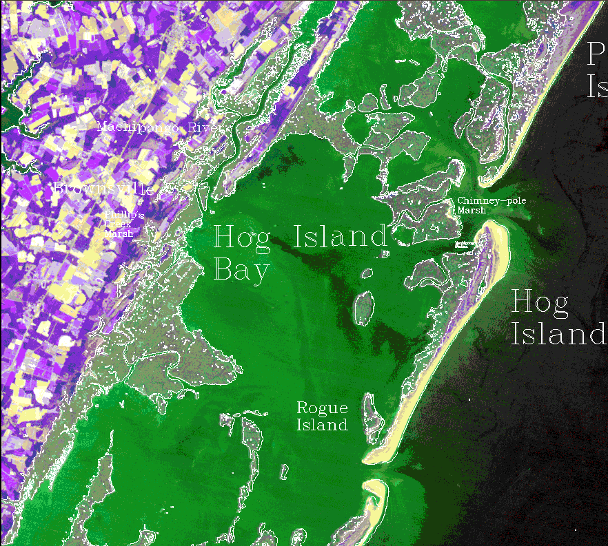
 1989 TM image of Hog Is. & Hog Is. Bay showing shoals and marshes (30m res).
234 K
1989 TM image of Hog Is. & Hog Is. Bay showing shoals and marshes (30m res).
234 K
 1986 TM image of Hog Is., Hog Is. Bay & surrounding areas--w/ outlines.
615 K
1986 TM image of Hog Is., Hog Is. Bay & surrounding areas--w/ outlines.
615 K
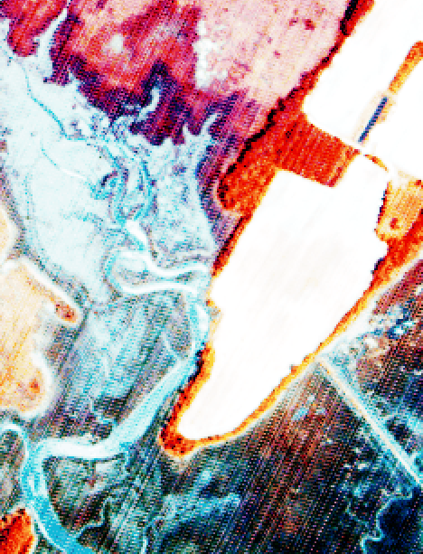
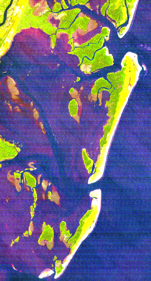 1993 TM bands 4,5,2 of Hog to Cobb Island.
442 K
1993 TM bands 4,5,2 of Hog to Cobb Island.
442 K
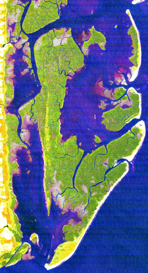 1993 TM bands 4,5,2 of Wreck to Smith Island.
427
1993 TM bands 4,5,2 of Wreck to Smith Island.
427
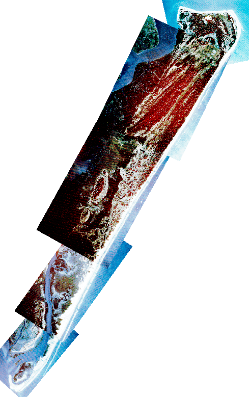 1991 Infrared Aerial Photos of Parramore Is. (5m res) (1:20000).
117 K
1991 Infrared Aerial Photos of Parramore Is. (5m res) (1:20000).
117 K
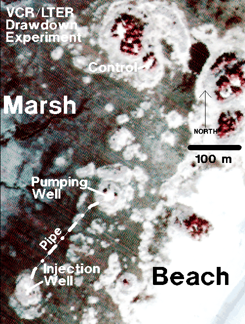 Aerial Photo and Map of VCR/LTER Drawdown Experiment (Parramore Is.)
199 K
Aerial Photo and Map of VCR/LTER Drawdown Experiment (Parramore Is.)
199 K
 Enlarged view from Infrared Aerial Photo of Phillips Creek and field in Brownsville.
164 K
Enlarged view from Infrared Aerial Photo of Phillips Creek and field in Brownsville.
164 K
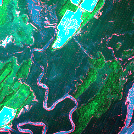 Analysis of Infrared Aerial Photo of Phillip Creek showing `Green-ness', `Wetness' & `Brightness'.
246 K
Analysis of Infrared Aerial Photo of Phillip Creek showing `Green-ness', `Wetness' & `Brightness'.
246 K
 Aug. 1984 TM scene of SE. portion of Maryland west of the Chesapeake Bay.
960 K
Aug. 1984 TM scene of SE. portion of Maryland west of the Chesapeake Bay.
960 K